Kamikochi – Karasawa
涸沢

Mist on the water, tents on the snow
View 7 photos- Distance
- 18.1km
- Ascent
- 816m
- 22 m of descent
- Walking time
- 5 h 09
- 7 h 58 with breaks
- High point
- 2,307m
- low point 1,511 m
- Season
- Summer
- July 2013
From river stones to snowfields
From Kamikochi to Karasawa, the landscape changes from water and woods to the Hotaka cirque. Mist veils the banks of the Azusa; higher up, colorful tents cluster at the foot of slopes still largely covered in snow in July.

Night at the hut
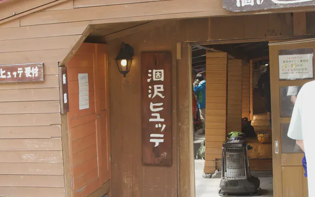 Karasawa Hütte 涸沢ヒュッテ

From the GPS tracks: where they stop in the evening and start again in the morning.
Before you return
Today’s trail conditions and recent trip reports:
Map and profile

Photos 7


