Kamikochi – Yarisawa – Yarigatake-Sansō
槍沢

The Yarisawa valley in autumn
View 5 photos- Distance
- 20.4km
- Ascent
- 1,659m
- 27 m of descent
- Walking time
- 6 h 05
- 9 h 13 with breaks
- High point
- 3,180m
- low point 1,448 m
- Season
- Autumn
- October 2007
From Kamikochi to the foot of the spire
From Kamikochi, the trail follows the Azusa upstream past Myōjin, Tokusawa and Yokoo, then heads up the Yarisawa valley, yellow with autumn foliage. Via Ōmagari and Banryū-kutsu, we reach Yarigatake-Sansō, where Yari’s spire turns red at sunset. In the evening, we climb on to the summit, at 3,180 m, without taking the GPS.

Night at the hut
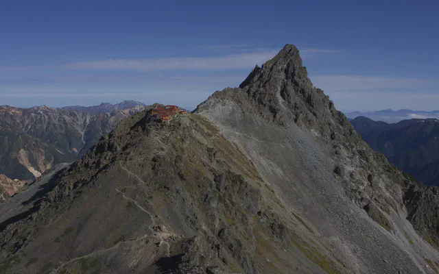 Yarigatake-Sansō 槍ヶ岳山荘

From the GPS tracks: where they stop in the evening and start again in the morning.
Before you return
Today’s trail conditions and recent trip reports:
Map and profile
Photos 5


