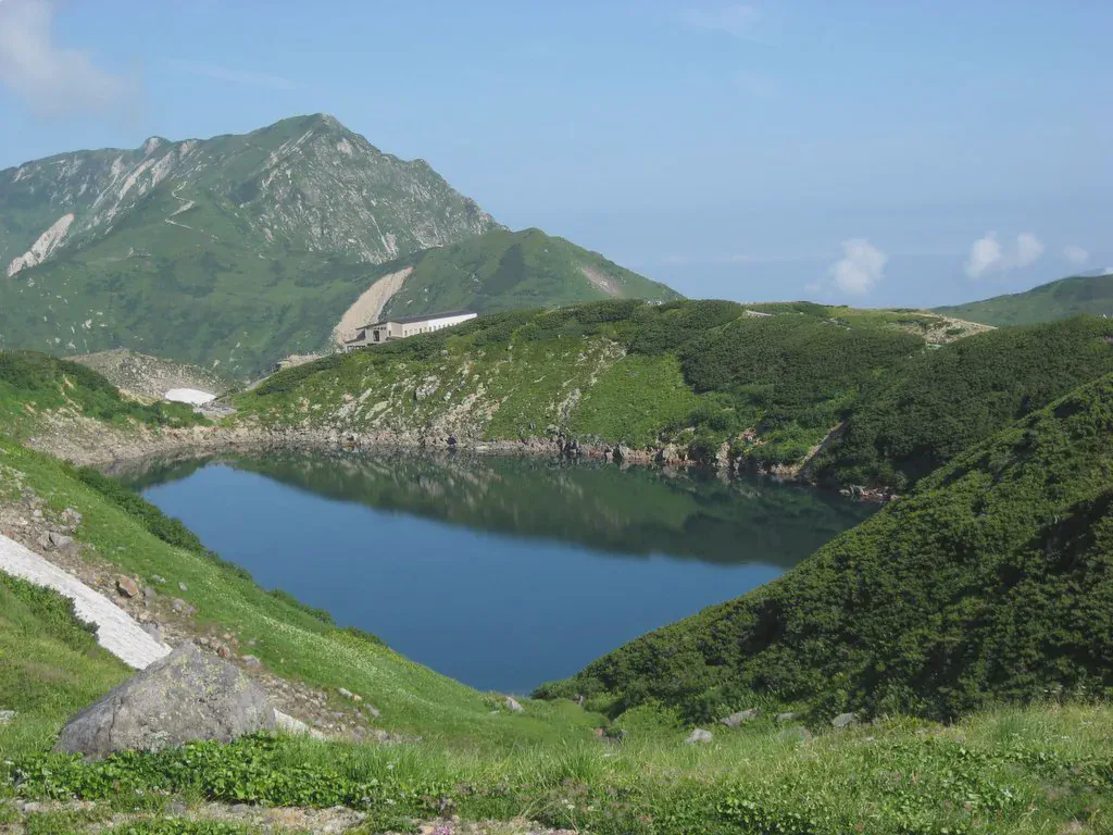
Murodō – Tateyama – Tsurugi-Gozen-Goya
立山

Snowfields and clouds on the ridge
View 7 photos- Distance
- 7.1km
- Ascent
- 746m
- 418 m of descent
- Walking time
- 3 h 03
- 7 h 01 with breaks
- High point
- 3,015m
- low point 2,437 m
- Season
- Summer
- August 2006
The 3,000-meter peaks of Tateyama
We leave Murodō at about 8:20 and climb via Ichinokoshi to the Oyama shrine (3,003 m), where we stop for an hour. The ridge continues over Ōnanji-yama (3,015 m), Fuji-no-Oritate and Masago-dake to Tsurugi-Gozen-Goya, where we spend the night.

Night at the hut
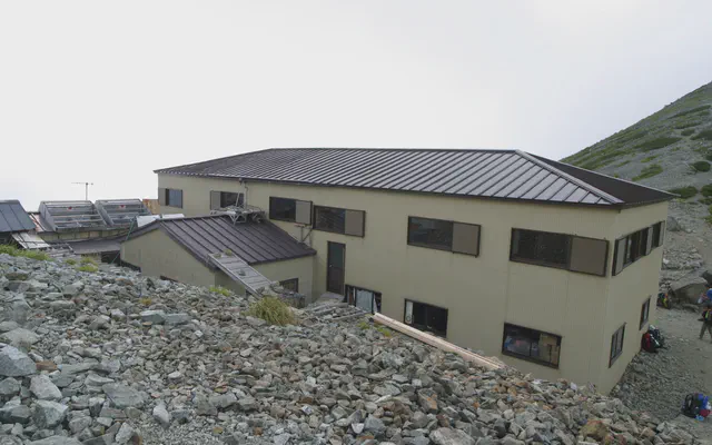 Tsurugi-Gozen-Goya 剱御前小舎

From the GPS tracks: where they stop in the evening and start again in the morning.
Before you return
Today’s trail conditions and recent trip reports:
Map and profile
Photos 7