Murodō – Shishidake – Goshikigahara-Sansō
獅子岳
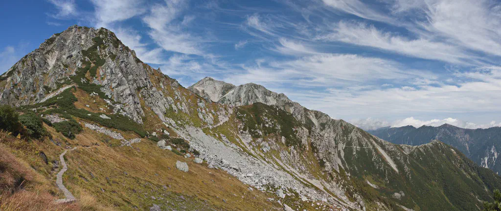
Along the Shishi-dake ridge
View 8 photos- Distance
- 7.4km
- Ascent
- 705m
- 639 m of descent
- Walking time
- 3 h 12
- 7 h 04 with breaks
- High point
- 2,714m
- low point 2,362 m
- Season
- Autumn
- September 2009
Leaving Murodō along the ridges
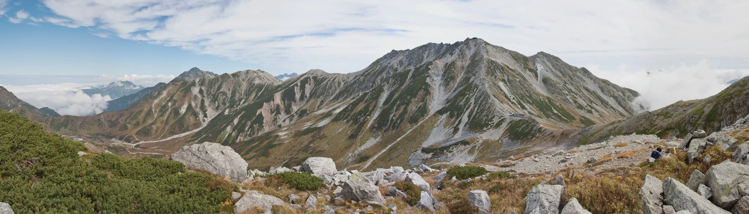
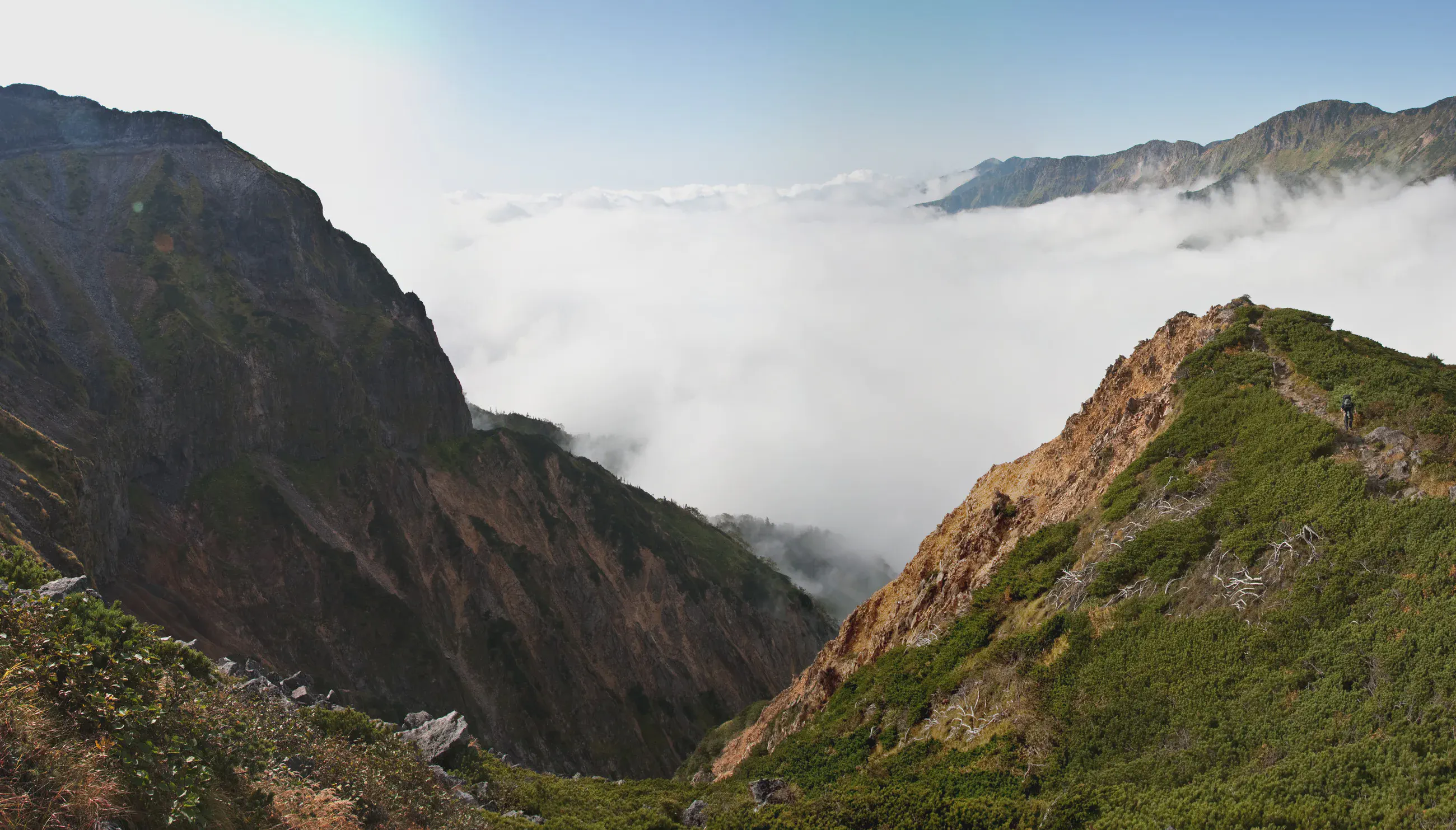
At Murodō, the High Route starts at the foot of the Tateyama peaks. The stage climbs to Shishidake, between gray rock and russet vegetation, before continuing to Goshikigahara. A sea of clouds fills the valleys below the ridgelines.
Approaching Goshikigahara, autumn grasses reappear between the stones. The boardwalk traces a narrow line across the plateau, all the way to the hut.
Night at the hut
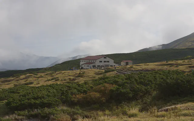 Goshikigahara-Sansō 五色ヶ原山荘

From the GPS tracks: where they stop in the evening and start again in the morning.
Map and profile

Photos 8