Gonoike-Goya – Marishitenyama – Kengamine
御嶽山

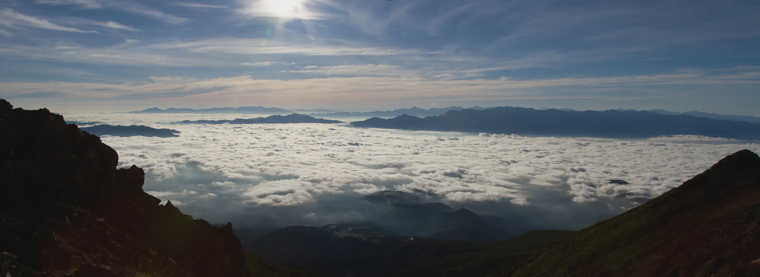
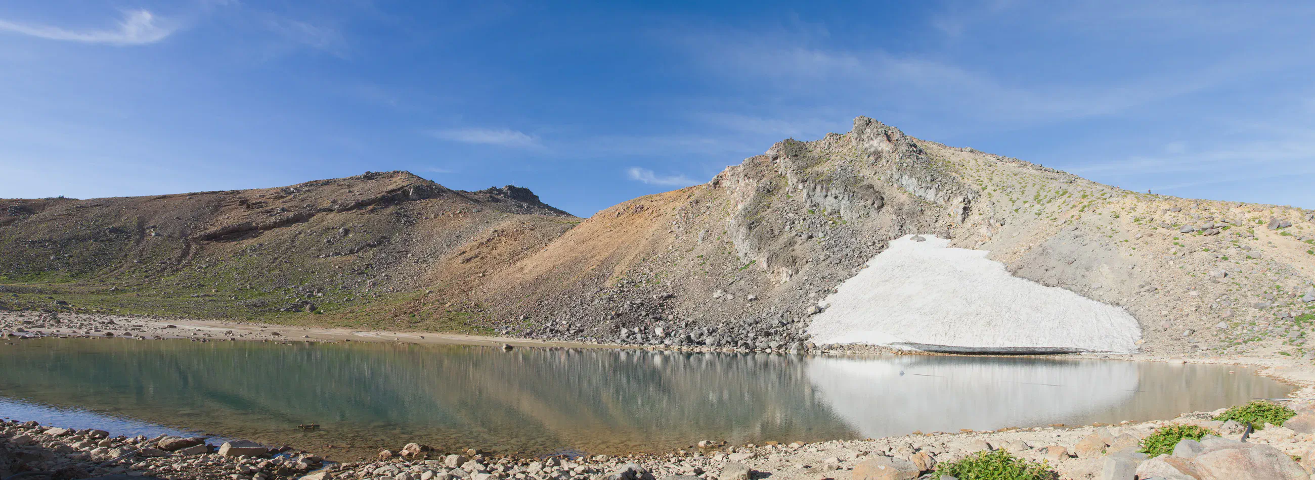
Crater lakes above the clouds
View 9 photos- Distance
- 10.5km
- Ascent
- 528m
- 1,517 m of descent
- Walking time
- 4 h 21
- 8 h 28 with breaks
- High point
- 3,067m
- low point 1,771 m
- Season
- Summer
- August 2010
From dawn to the craters
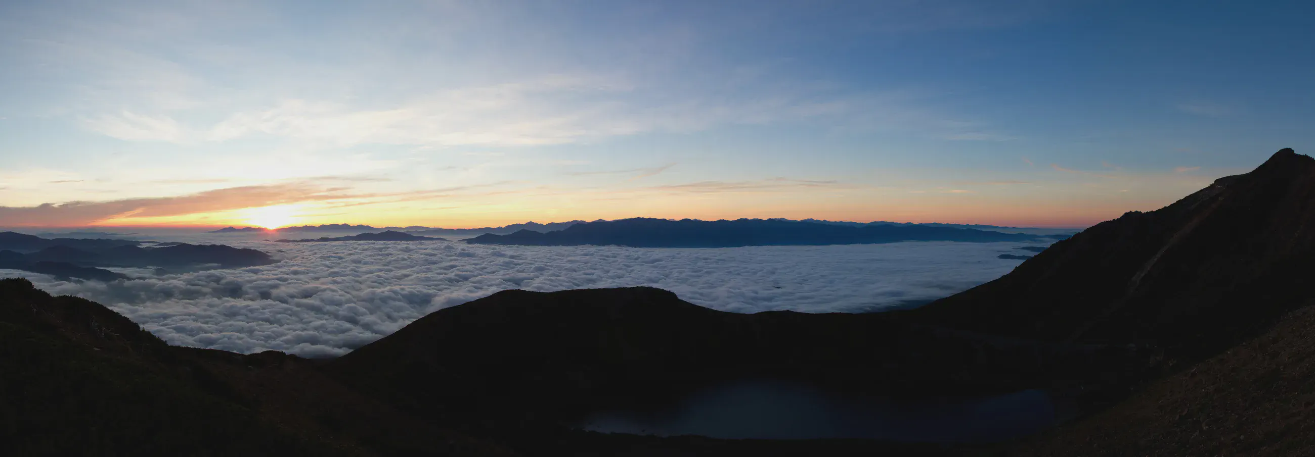
On leaving Gonoike-Goya, the horizon beyond Ontake turns pink above the clouds. The route then crosses the Marishitenyama and Kengamine area. Lakes, volcanic rocks and statues line the way across the upper slopes of the volcano.
After the craters, the route descends toward Nigorigo-Onsen, on a different side of the mountain from the previous day’s climb from the Ontake Ropeway.
Topographic map of the Ontake-san crater (GSI, 1:25,000) Ontake-san details
Before you return
Today’s trail conditions and recent trip reports:
Map and profile
Photos 9