Goshikigahara-Sansō – Tonbiyama – Sugonorikoshi-Goya
鳶山

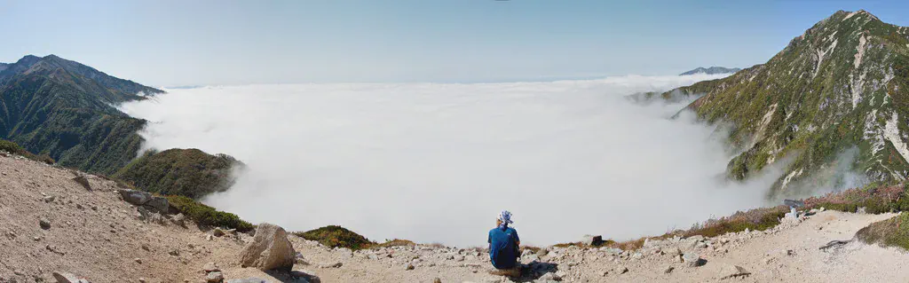
Above the sea of clouds
View 8 photos- Distance
- 6.7km
- Ascent
- 603m
- 827 m of descent
- Walking time
- 2 h 53
- 8 h 20 with breaks
- High point
- 2,616m
- low point 2,155 m
- Season
- Autumn
- September 2009
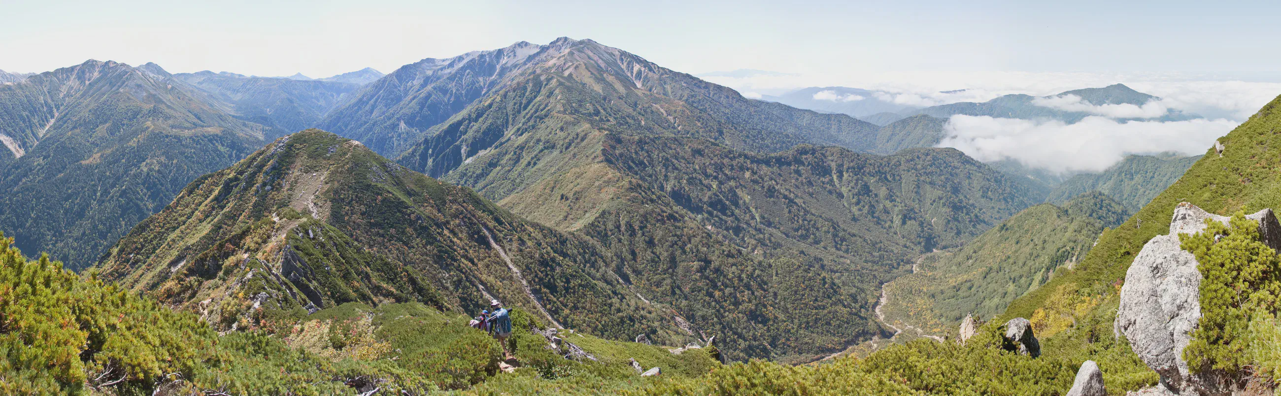
Valleys filled with clouds
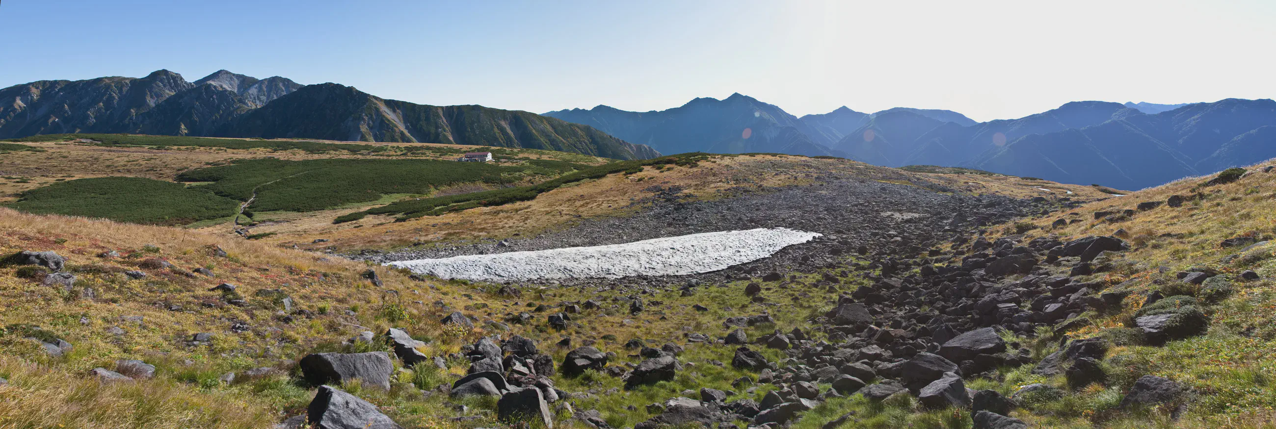
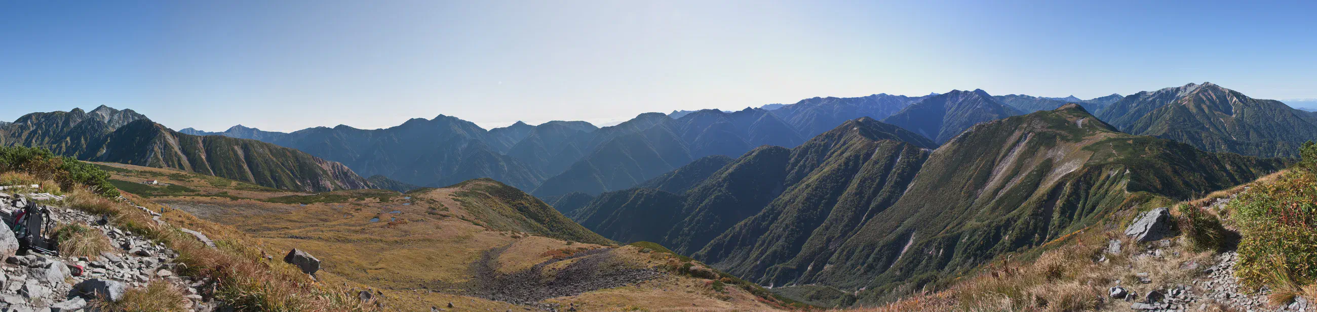
Between Goshikigahara and Sugonorikoshi, the High Route passes Tonbiyama and follows open terrain. The valleys are filled with clouds while the ridges stay in view. Along the trail, yellow leaves show that autumn has already reached the plateaus.
At Sugonorikoshi-Goya, the setting sun turns the clouds orange. The conifers stand out in silhouette against the horizon, at the edge of the slope that drops below the hut.
Night at the hut
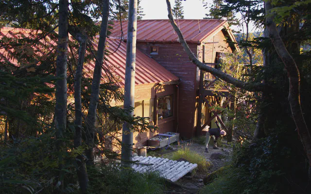 Sugonorikoshi-Goya スゴ乗越小屋

From the GPS tracks: where they stop in the evening and start again in the morning.
Map and profile

Photos 8