Jōnen-Goya – Jōnen-dake – Ichinosawa
常念岳

Mist on top, snow on the way down
View 2 photos- Distance
- 10.9km
- Ascent
- 400m
- 1,691 m of descent
- Walking time
- 3 h 52
- 6 h 10 with breaks
- High point
- 2,857m
- low point 1,162 m
- Season
- Summer
- June 2009
Jōnen-dake in the morning, then the descent
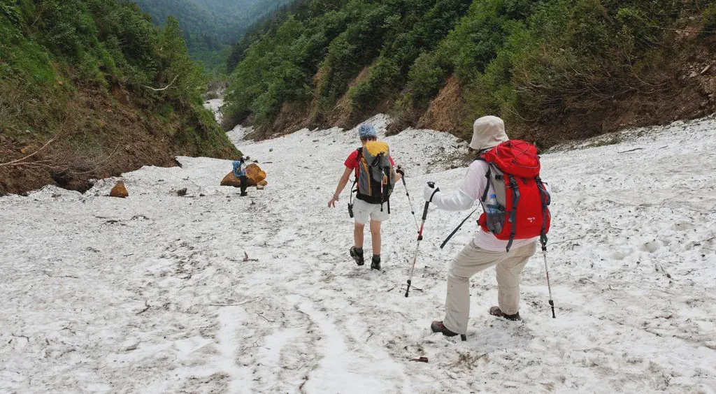
We leave Jōnen-Goya at 7:00 in the mist and reach the summit of Jōnen-dake (2,857 m) at about 8:00, facing the spire of Yarigatake. We return to the pass, then make the long descent along the Ichinosawa, partly over snow, to the valley floor.

Before you return
Today’s trail conditions and recent trip reports:
Map and profile
Download the GPX track
How to read this map
Hover over the profile to follow the track on the map. The thumbnails show where each photo was taken; click one to enlarge it.
Photos 2