Yari-Onsen – Yarigatake – Hakuba-Sansō
鑓ヶ岳

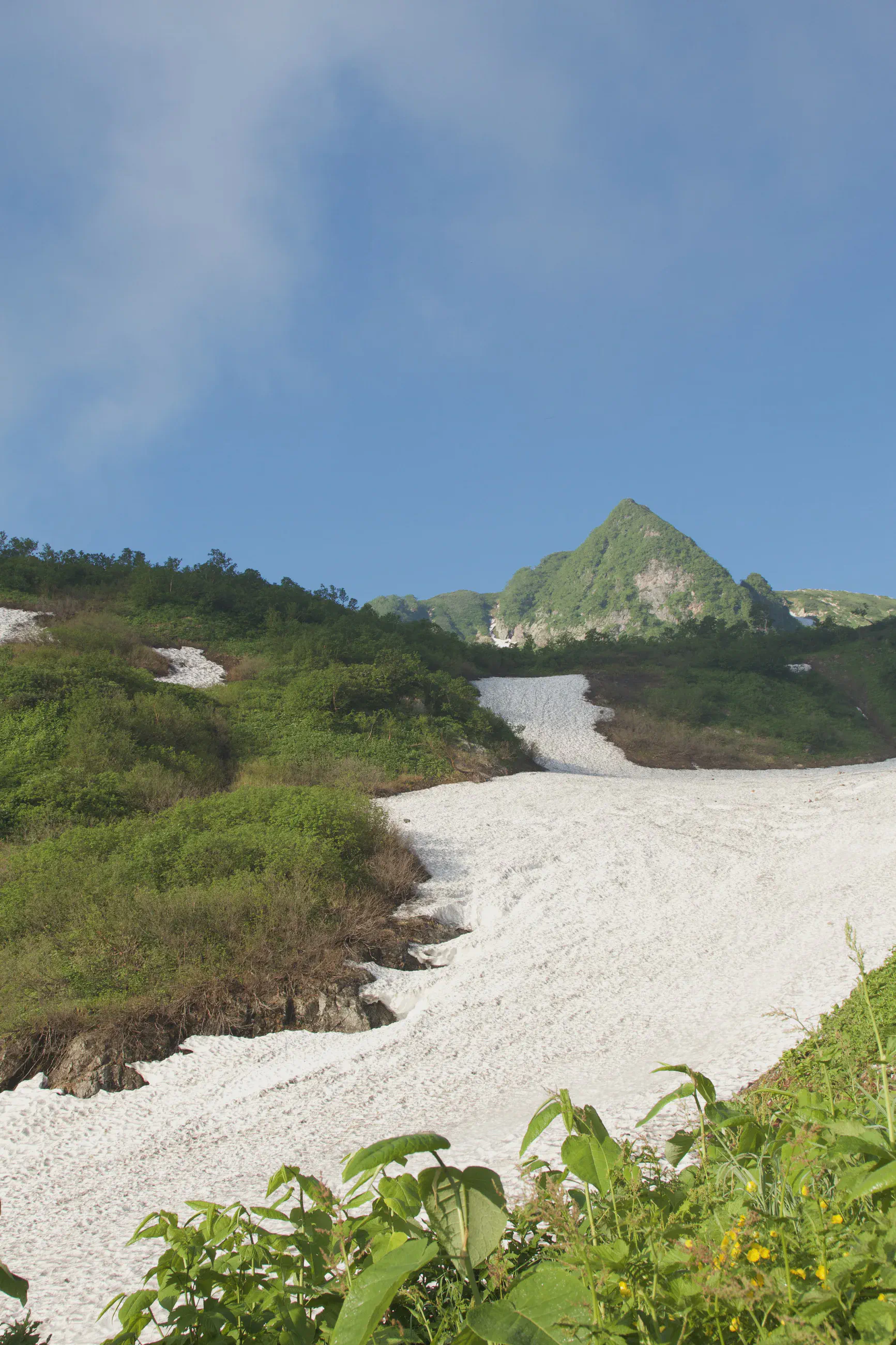
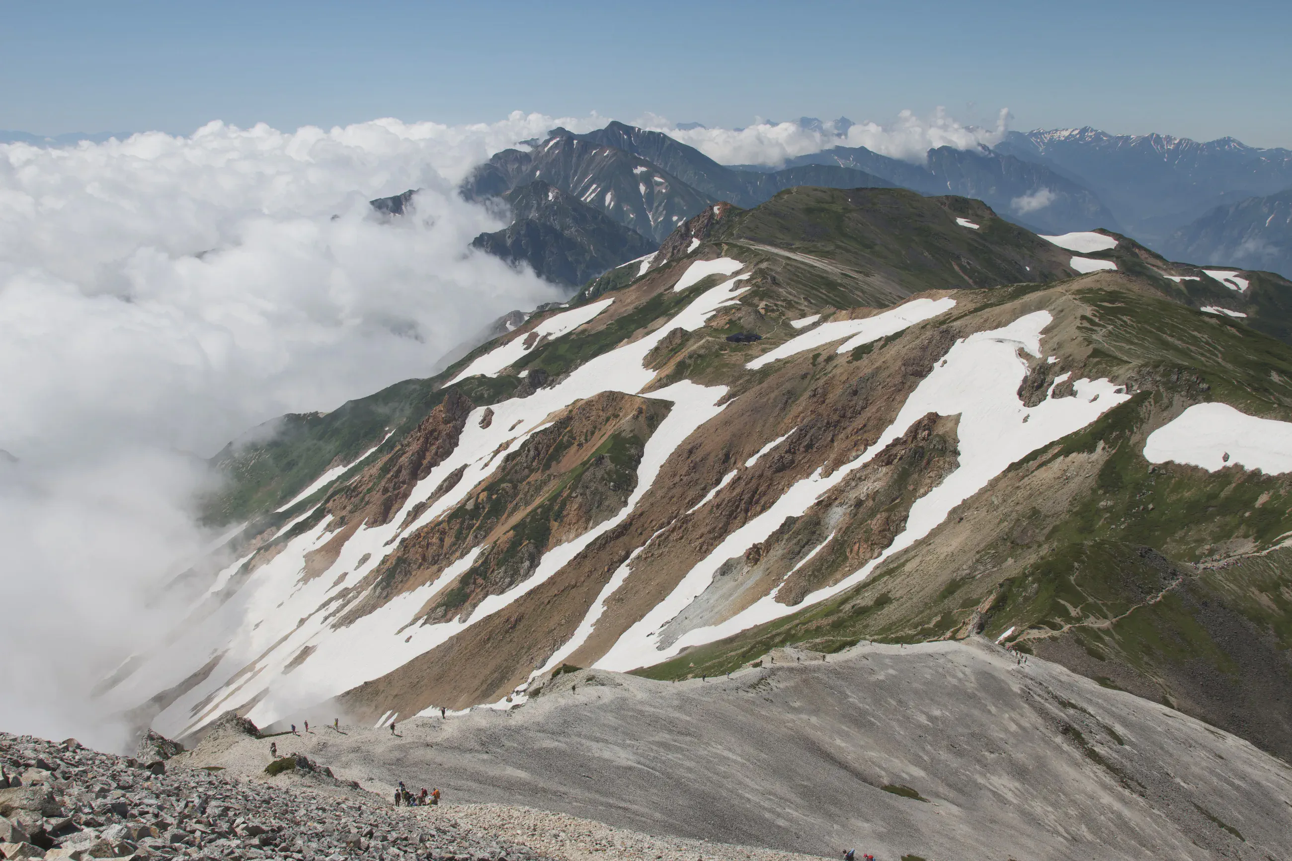
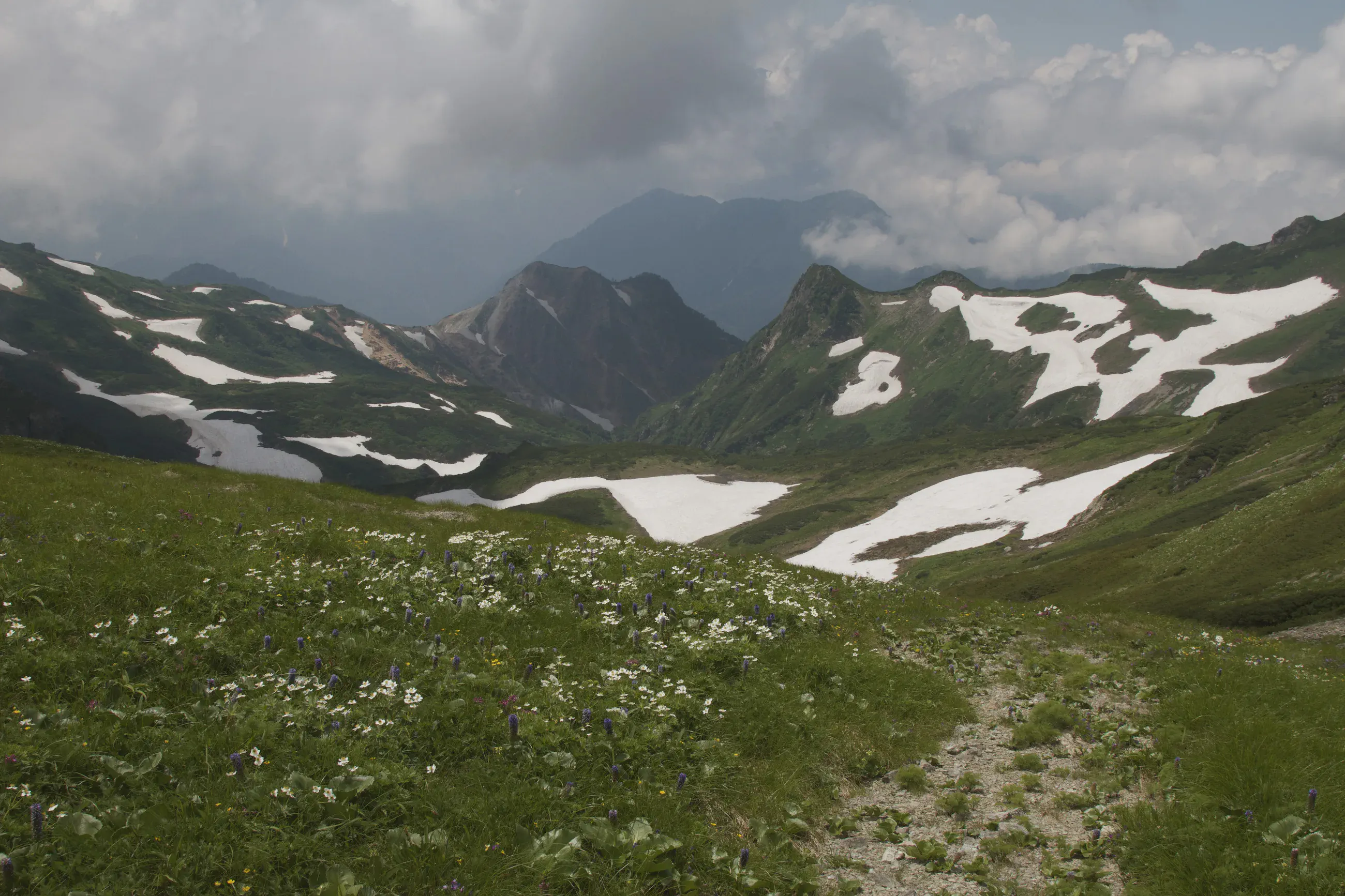
Snowfields on the Hakuba ridge
View 7 photos- Distance
- 6.7km
- Ascent
- 1,186m
- 345 m of descent
- Walking time
- 3 h 24
- 6 h 20 with breaks
- High point
- 2,915m
- low point 1,992 m
- Season
- Summer
- July 2011
Following the Hakuba ridge
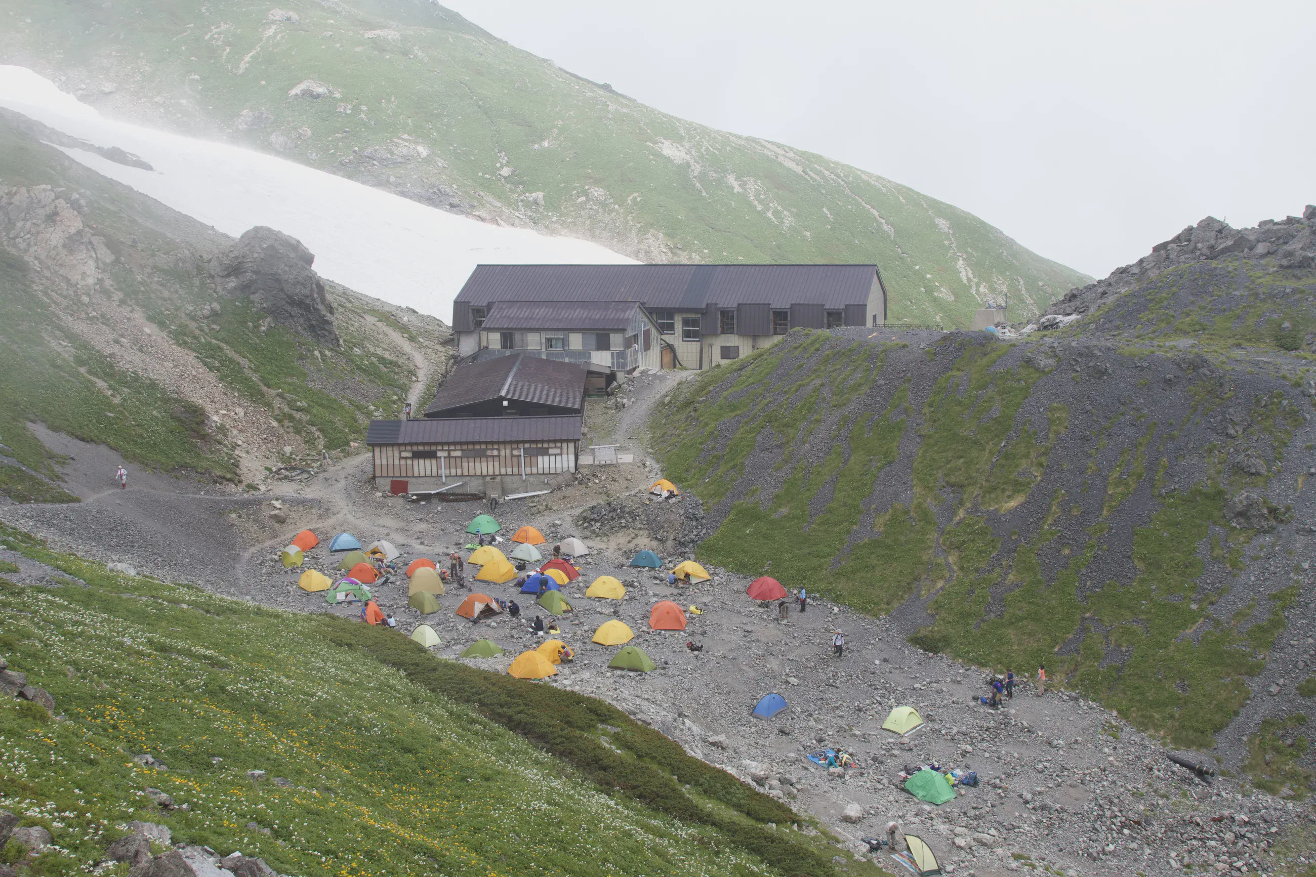
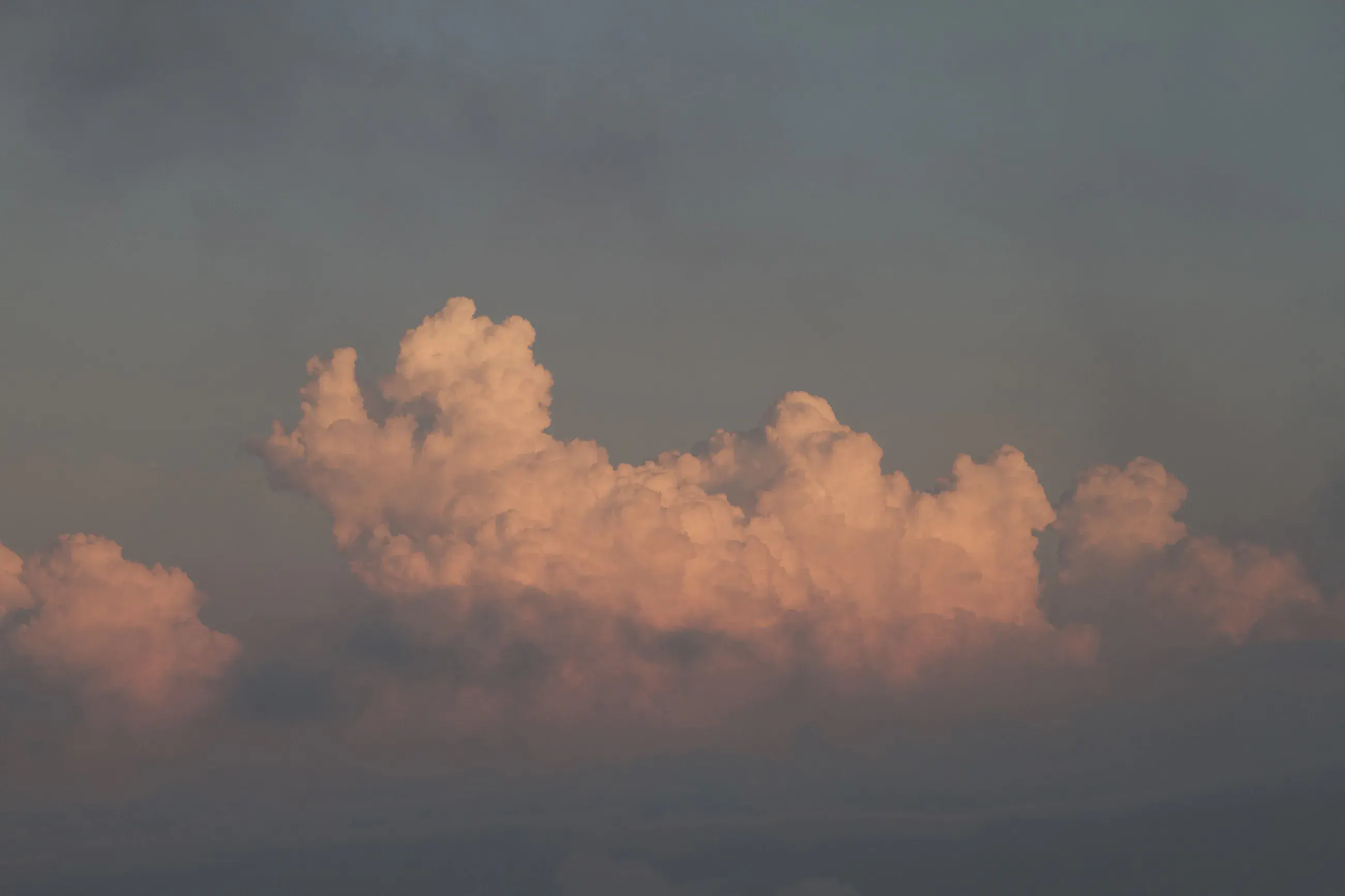
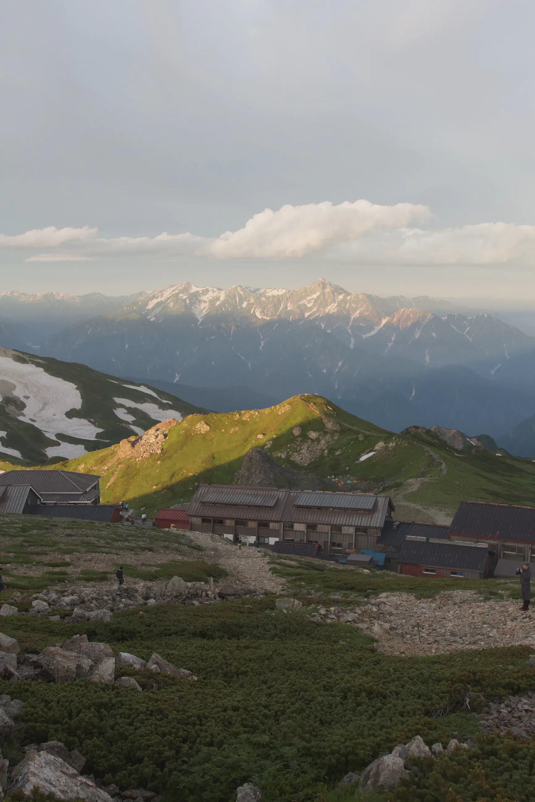
From Yari-Onsen, the second stage reaches the ridge before continuing to Hakuba-Sansō. Snowfields still fill the hollows between the green slopes and the rocky arêtes. Near the hut, pink light outlines the clouds above the peaks.

Night at the hut
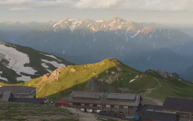 Hakuba-Sansō 白馬山荘 The Daisekkei route closed for the season in late August 2026. checked Nov 4, 2026
From the GPS tracks: where they stop in the evening and start again in the morning.
Before you return
Today’s trail conditions and recent trip reports:
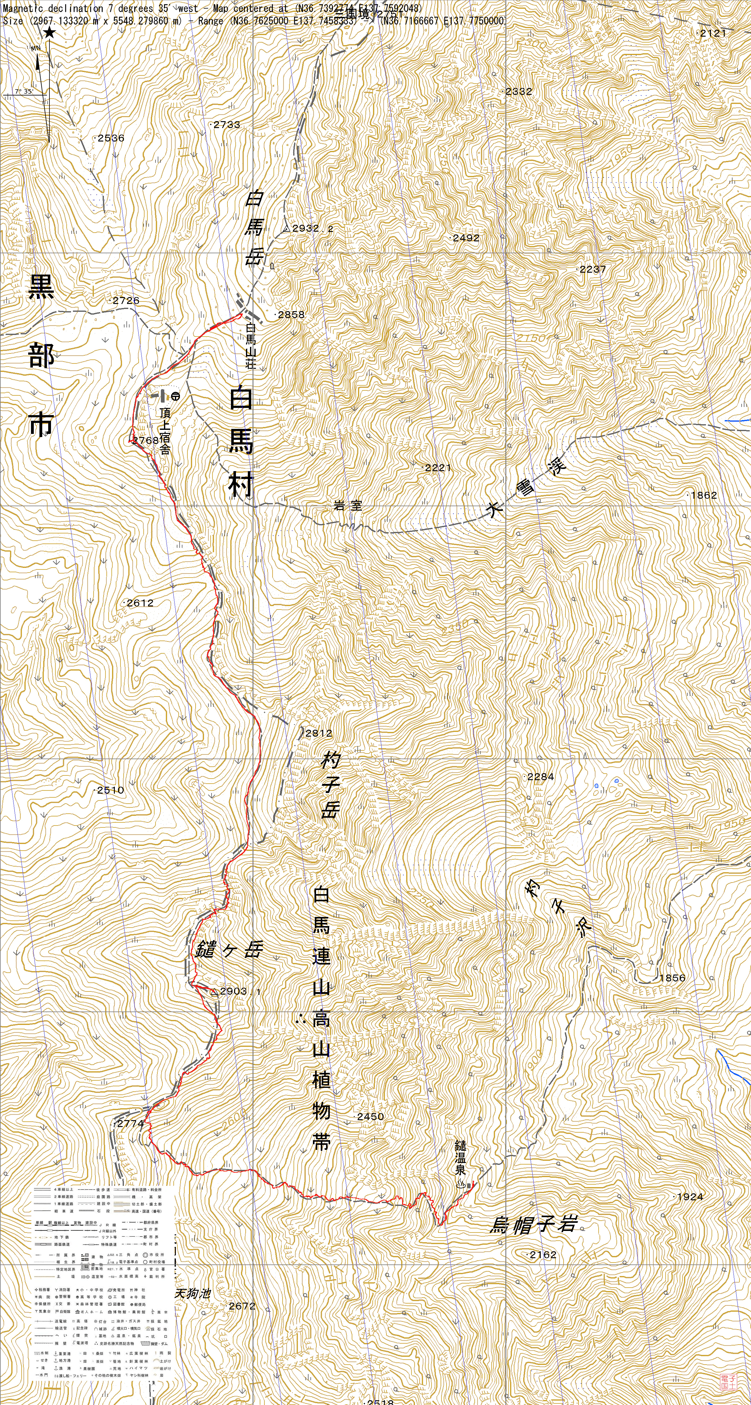
Map and profile
Photos 7