Rando au Japon 山歩き
Français

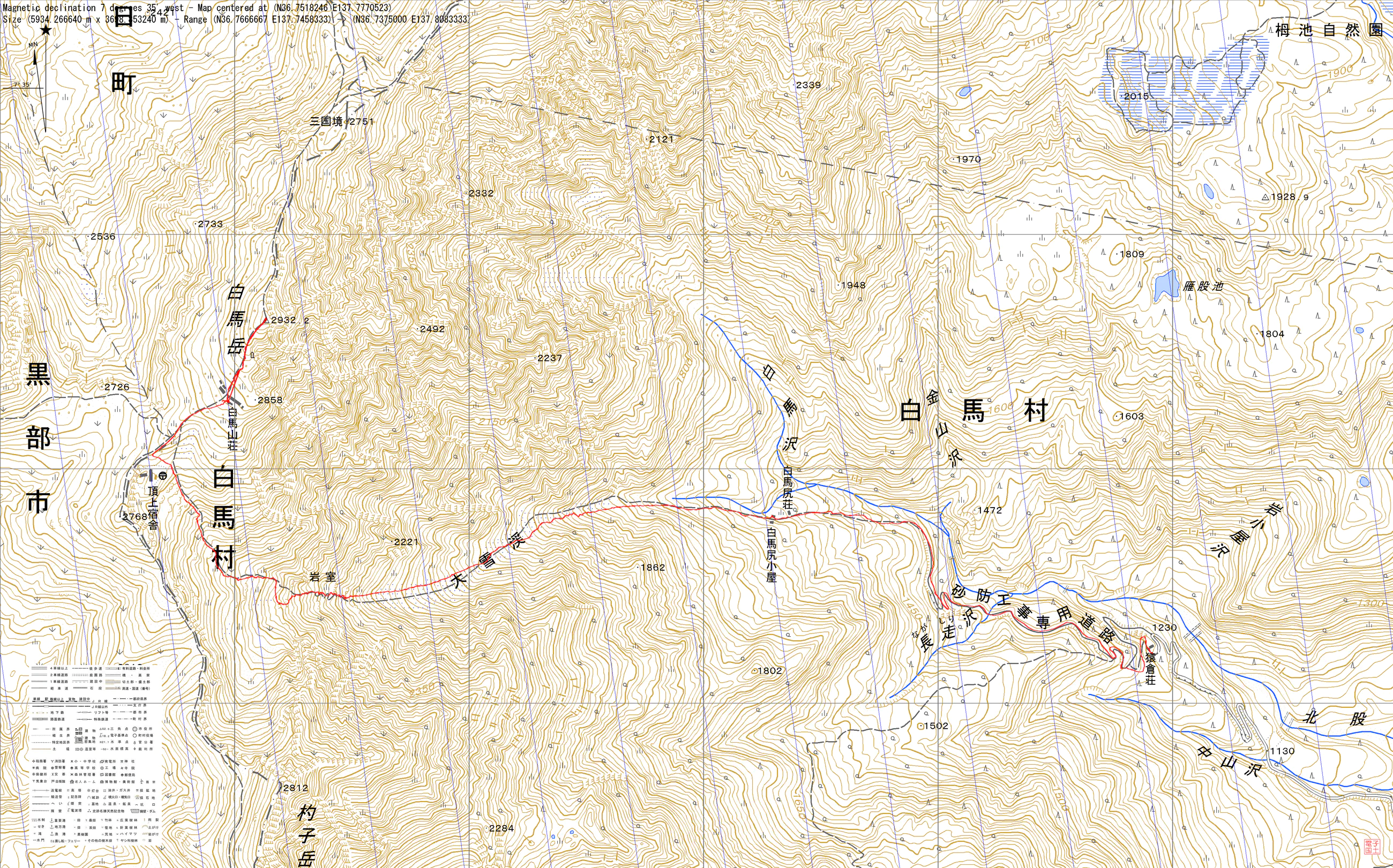
Hakuba-Sansō – Shiroumadake – Sarukura-Sansō

Nagano, Toyama百名山 白馬岳

Cover photo: Hakuba-Sansō – Shiroumadake – Sarukura-Sansō

Pink dawn and the great snowfield

View 7 photos
Distance
7.4km
Ascent
139m
1,674 m of descent
Walking time
2 h 53
5 h 54 with breaks
High point
2,932m
low point 1,260 m
Season
Summer
July 2011

Before you return

Today’s trail conditions and recent trip reports:

Photos 7

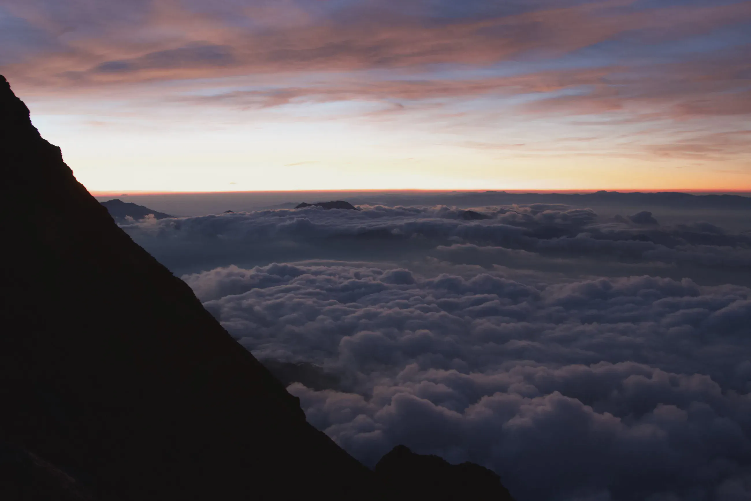
Sea of clouds under a dawn sky, dark slope on the left
Just below the summit of Shiroumadake, at about 2,890 m, the sea of clouds fills the valleys before sunrise.

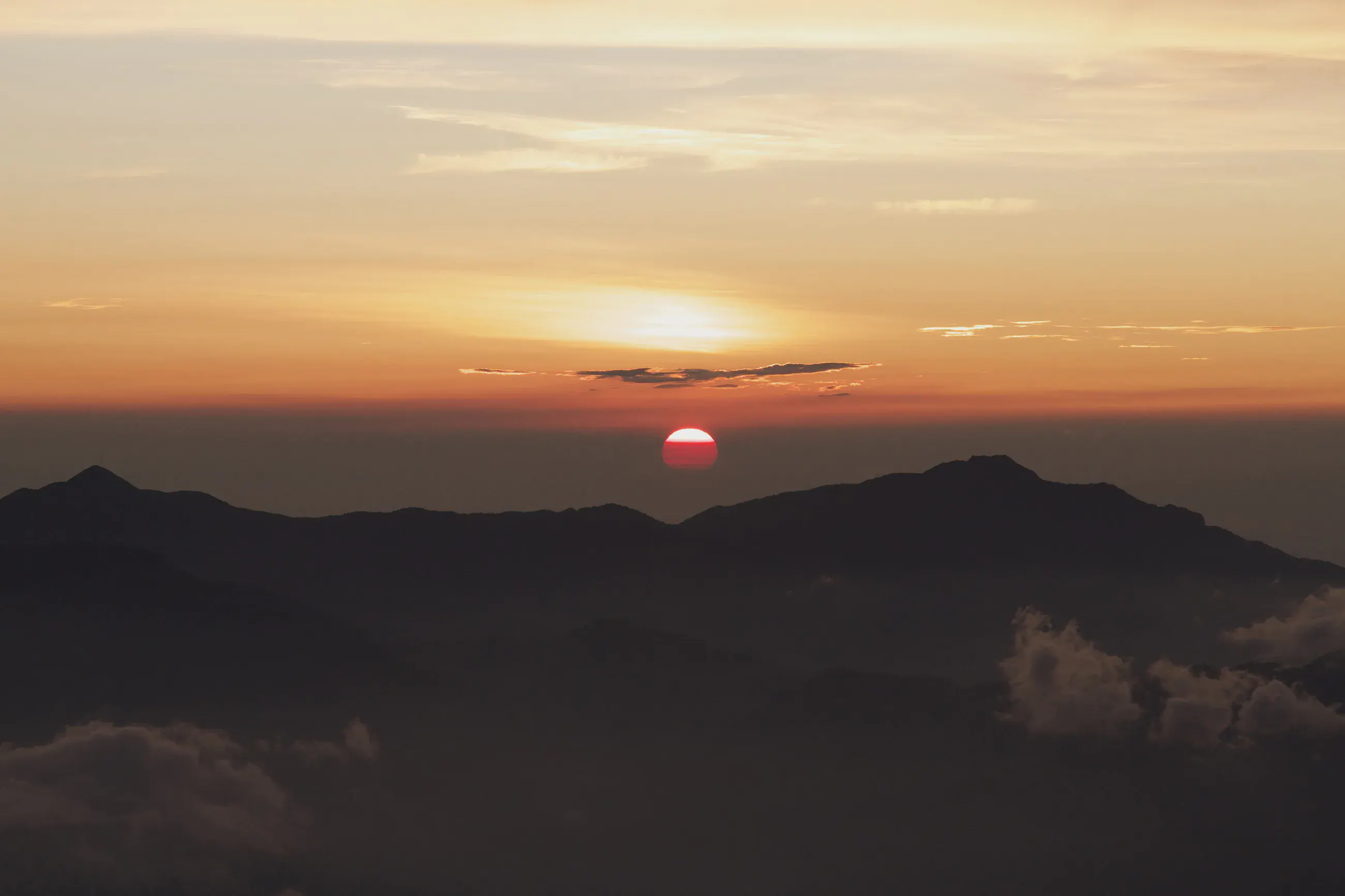
Red sun rising behind dark mountains
On the summit of Shiroumadake, 2,932 m, the sun rises behind the distant ridges.

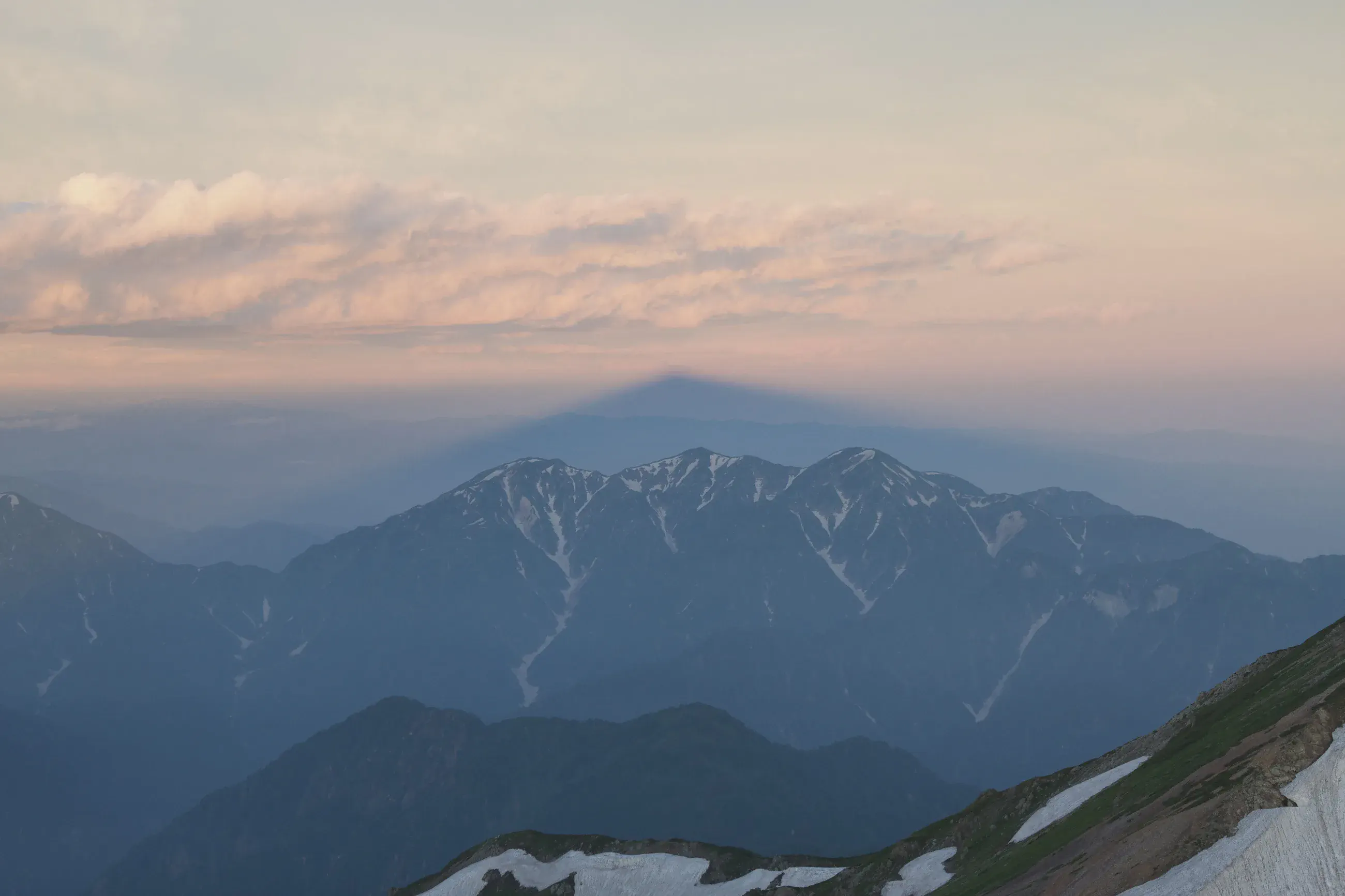
Triangular shadow of the mountain cast on the mist above a snowy range
From the summit, the shadow of Shiroumadake is cast on the mist, above a snowy range.

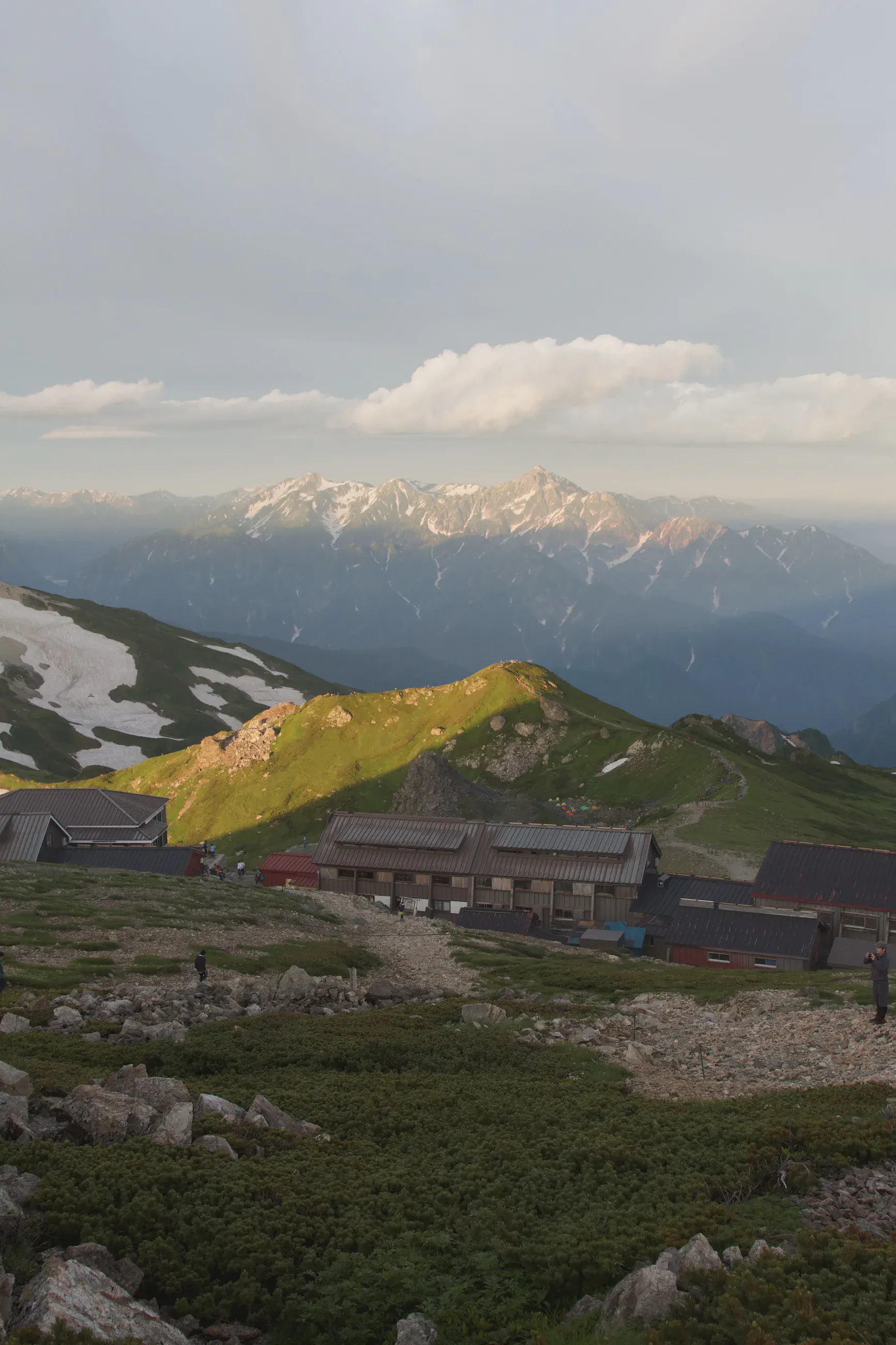
Hut buildings on a plateau, snowy mountains in the distance
Hakuba-Sansō (白馬山荘), 2,832 m, in the first light, facing the snowy peaks.

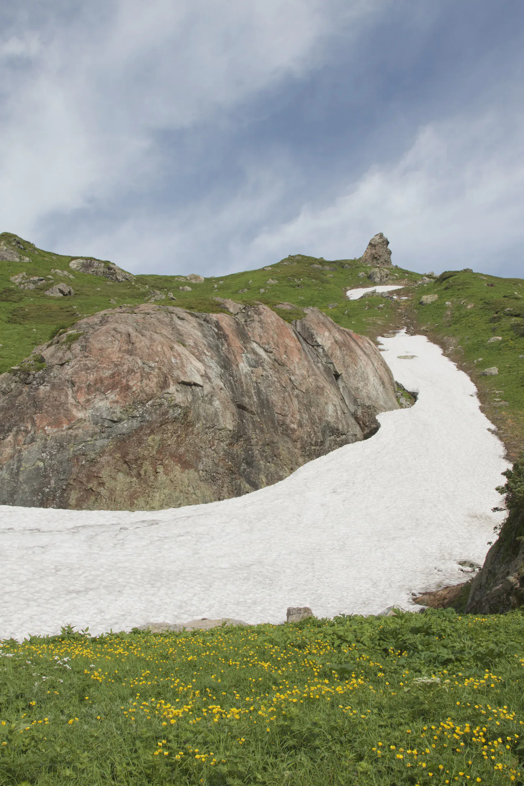
Curving snowfield at the foot of a rock, yellow flowers in the foreground
On the descent to the Daisekkei, at about 2,570 m, a snowfield curves around a rock above a meadow of yellow flowers.

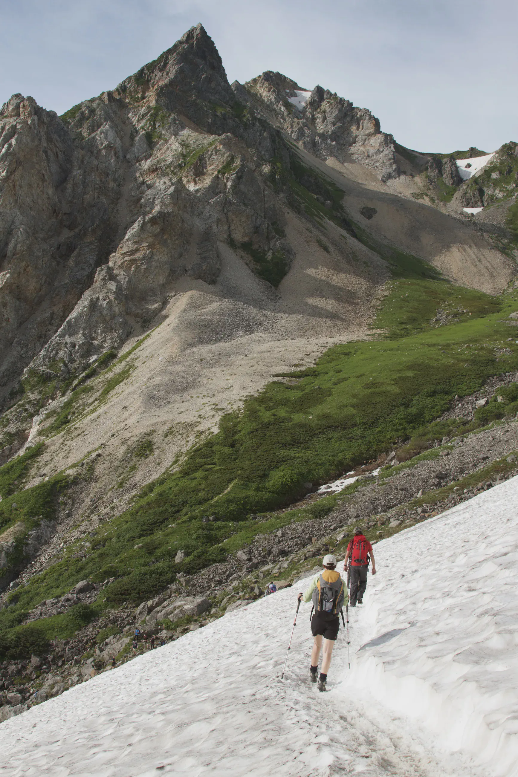
Two hikers seen from behind on the snow below a rock spire
Two hikers start down the top of the Daisekkei, at about 2,450 m, below the rock spires.

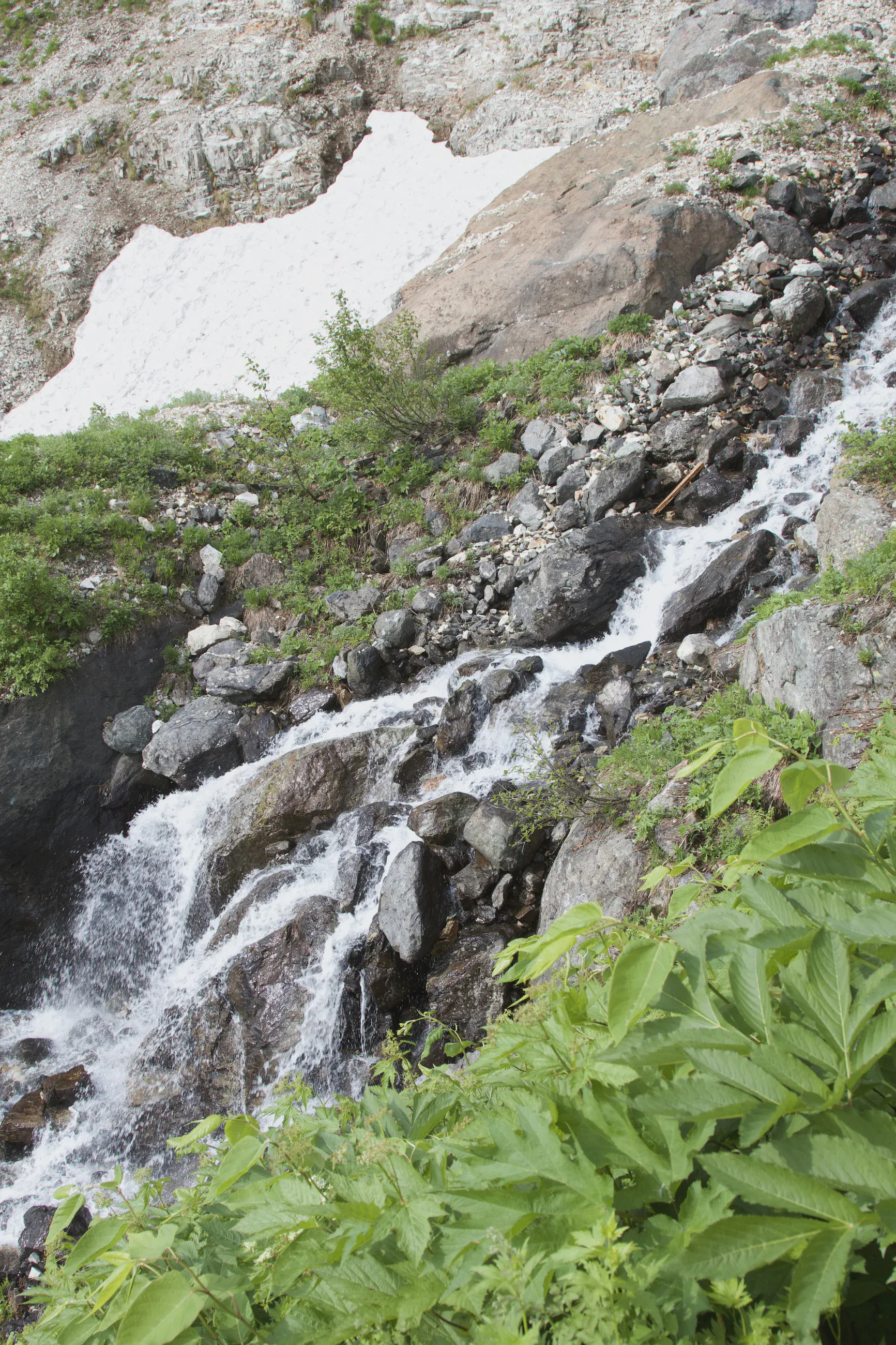
Waterfall between rocks and snow, green foliage in the foreground
A waterfall runs down between the rocks and the last of the snow, at the edge of the Daisekkei, at about 2,280 m.