Alts Bandai ski resort – Koganedaira – Happodai Tozanguchi
こがね平

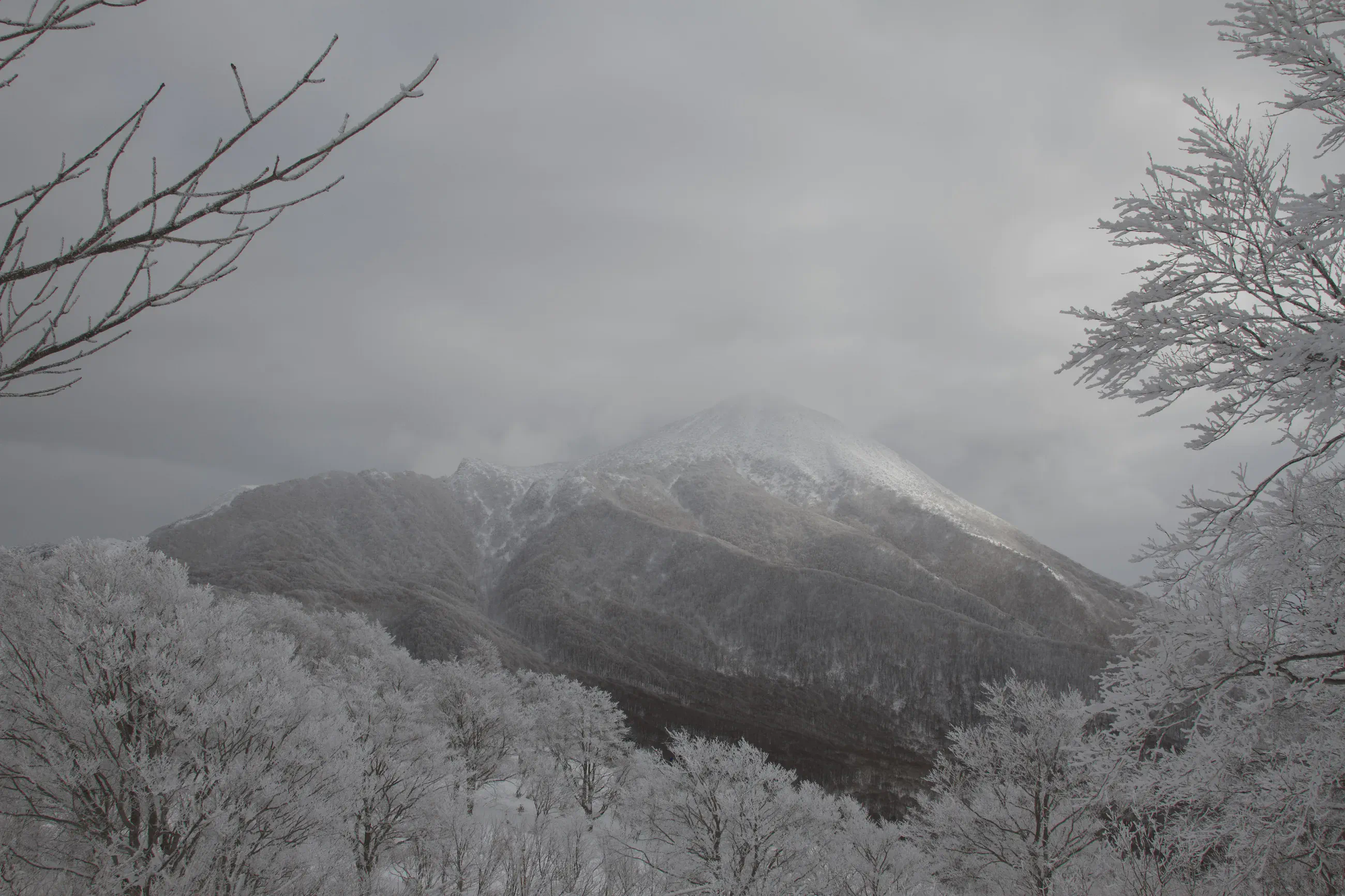
New Year's rime
View 7 photos- Distance
- 6.8km
- Ascent
- 117m
- 487 m of descent
- Walking time
- 3 h 17
- 6 h 50 with breaks
- High point
- 1,339m
- low point 872 m
- Season
- Winter
- January 2011
The rime of Koganedaira
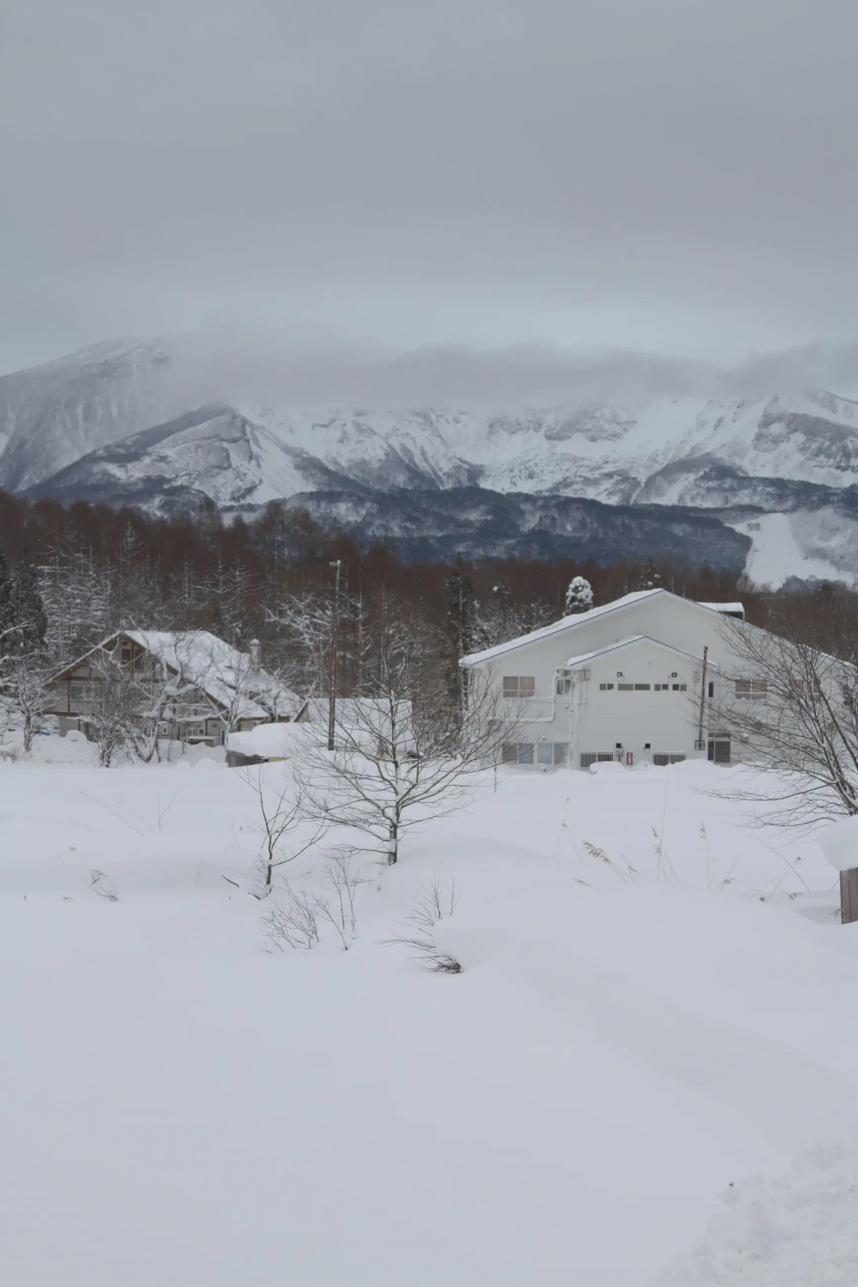
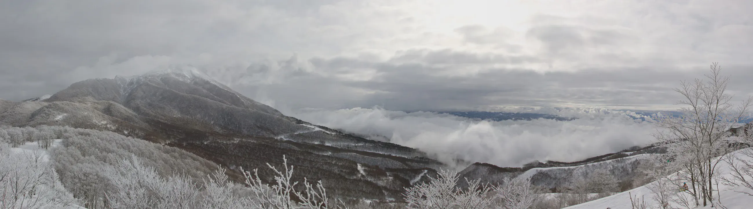
The year’s first outing leads from the Alts Bandai slopes to the Koganedaira plateau, then to Happodai Tozanguchi. Snow covers the open ground and the woods. Above the frosted branches, the Bandai massif appears between the clouds.
Activity recorded on Garmin Connect.
(About Koganedaira)
Night at the pension
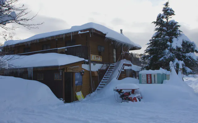 Pension Palette ペンションパレット

From our memories.
Map and profile
Download the GPX track
How to read this map
Hover over the profile to follow the track on the map. The thumbnails show where each photo was taken; click one to enlarge it.
Photos 7