Rando au Japon 山歩き
Français

Mitsumata-Sansō – Mitsumatarengedake – Sugoroku-Goya

Nagano百名山 鷲羽岳

Cover photo: Mitsumata-Sansō – Mitsumatarengedake – Sugoroku-Goya

The pond at the bottom of the cirque

View 8 photos
Distance
8.0km
Ascent
811m
752 m of descent
Walking time
3 h 08
8 h 09 with breaks
High point
2,841m
low point 2,500 m
Season
Autumn
September 2009

Before you return

Today’s trail conditions and recent trip reports:

Photos 8

Washibadake above the lit-up Mitsumata-Sansō, at dawn
At dawn, the lights of Mitsumata-Sansō (三俣山荘) at the foot of Washibadake, above the reddened shrubs.

Panorama: sunrise on the ridge, the spire of Yarigatake in the center
Sunrise near Mitsumata-Sansō; the spire of Yarigatake stands out in the middle of the ridge.

Washiba-ike in its crater, seen from above, Yarigatake behind
Washiba-ike (鷲羽池) in its crater, seen from the Washibadake ridge at about 2,880 m; in the distance, the spire of Yarigatake.

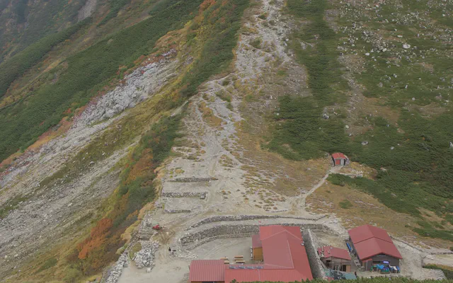
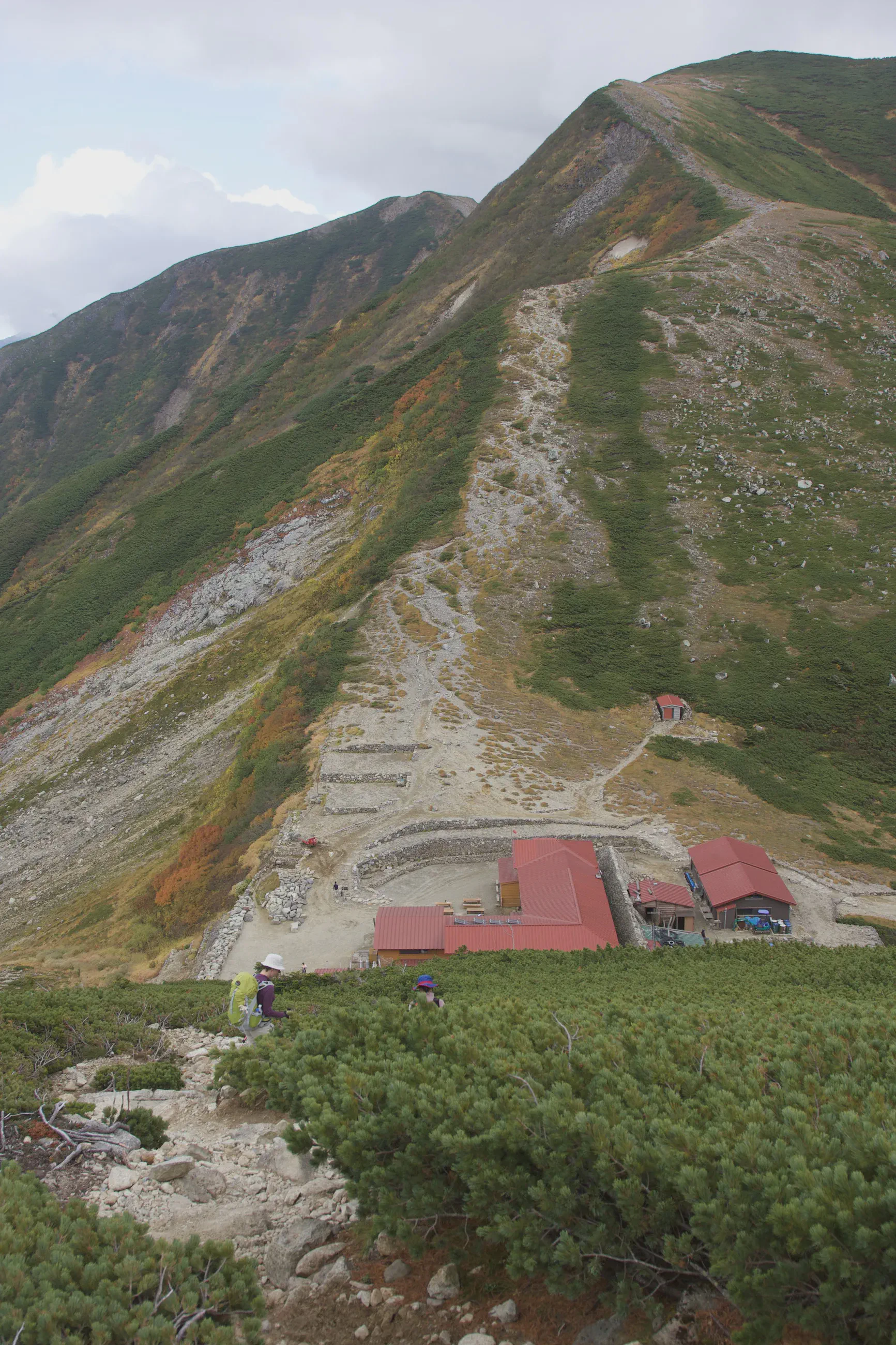
Arriving at Sugoroku-Goya (双六小屋), GPS in hand
Arriving at Sugoroku-Goya (双六小屋), at about 2,560 m, GPS in hand.

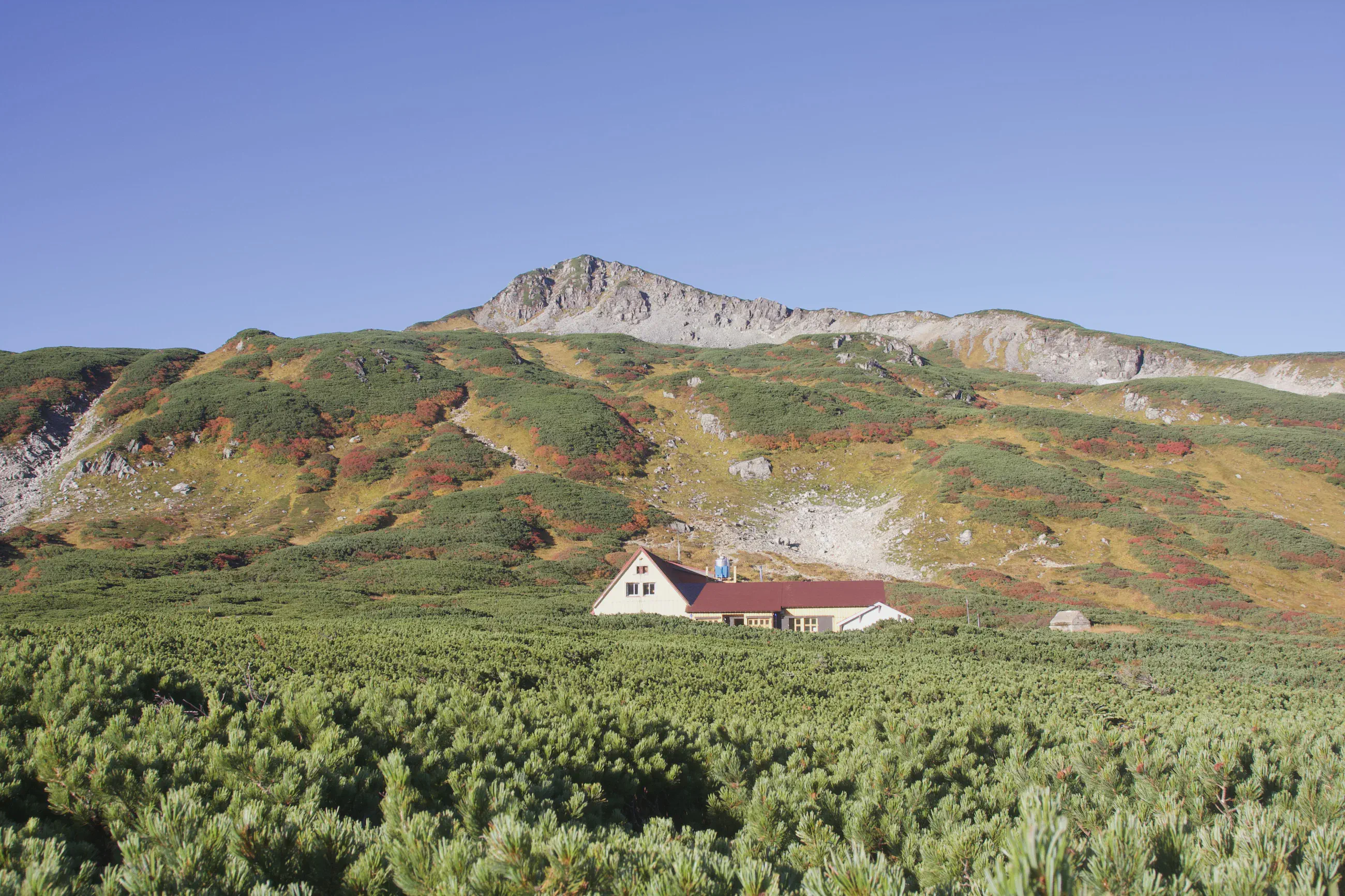
Mitsumata-Sansō in the morning
At the start, Mitsumata-Sansō among the dwarf pines, below the russet slopes, at about 2,560 m

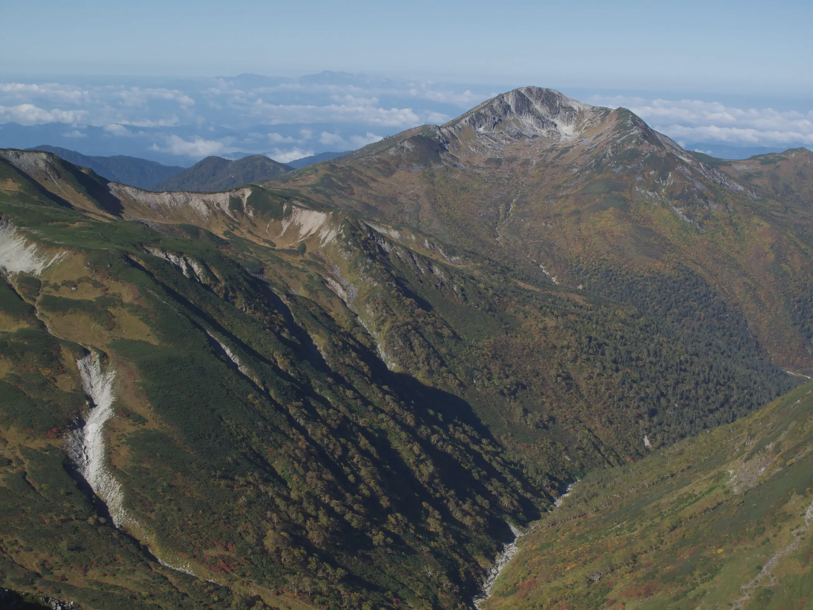
Summit and deep valley, sea of clouds on the horizon
From the summit of Washibadake, 2,924 m: a peak towers over a deep valley, the sea of clouds on the horizon.

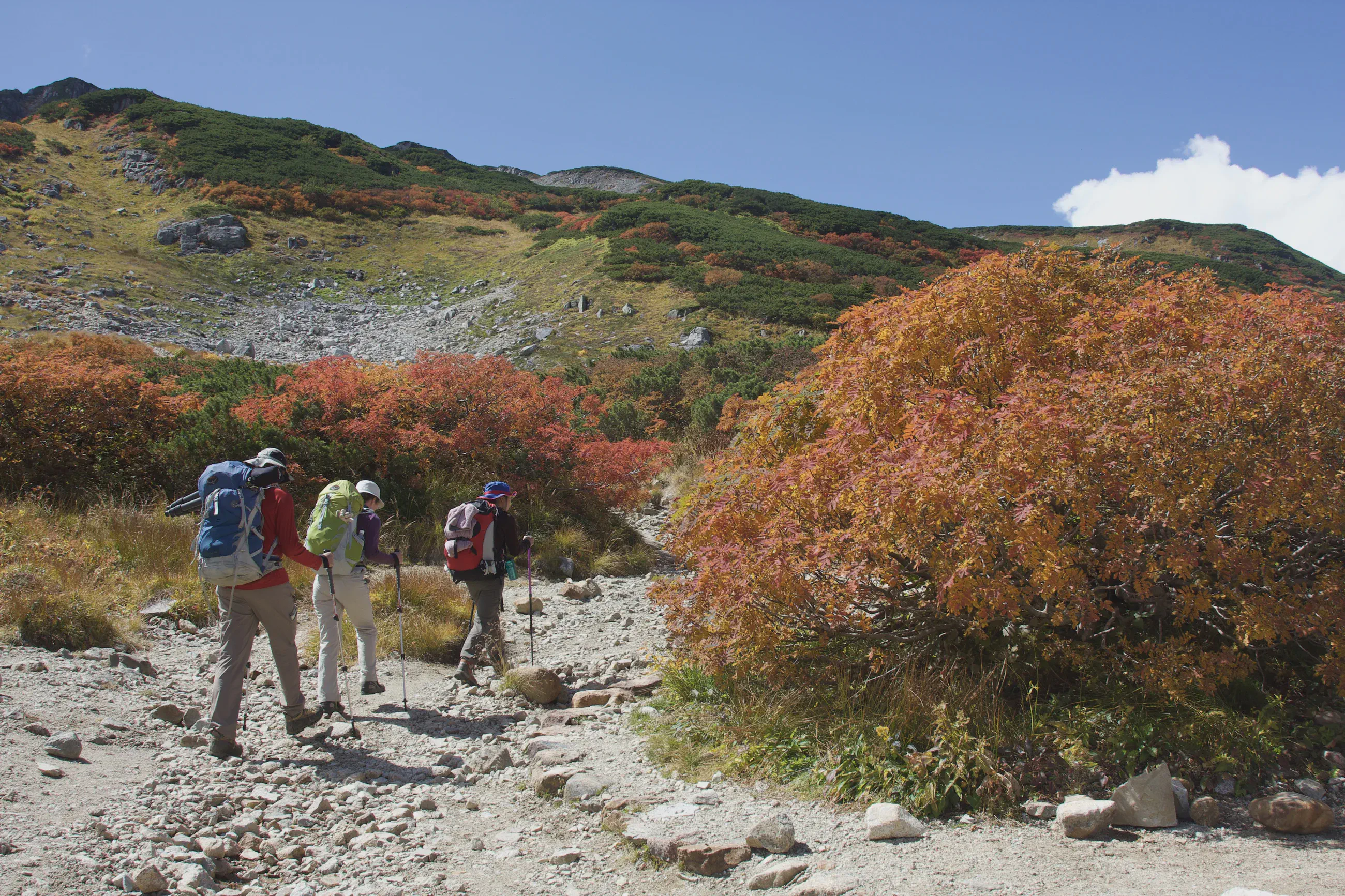
Hikers seen from behind on a stony trail near an orange bush
Near Mitsumata-Sansō, hikers seen from behind pass a large orange bush.

The Sugoroku hut at the foot of a slope crossed by the trail
Sugoroku-Goya at the foot of the slope, seen from the trail down to it, at about 2,620 m.