Rando au Japon 山歩き
Français

Sugoroku-Goya – Momisawadake – Shin-Hotaka Onsen

Nagano

Cover photo: Sugoroku-Goya – Momisawadake – Shin-Hotaka Onsen

Last dawn, then the long descent

View 8 photos
Distance
16.2km
Ascent
325m
1,777 m of descent
Walking time
5 h 25
11 h 20 with breaks
High point
2,755m
low point 1,088 m
Season
Autumn
September 2009

Photos 8

Panorama: dawn and its feathery clouds, from Momisawadake
Panorama: dawn and its feathery clouds above the Alps, from the summit of Momisawadake (樅沢岳), 2,755 m

Panorama: the ridge gilded by the first sun, from Momisawadake
Panorama: the ridge gilded by the first sun, from the summit of Momisawadake (樅沢岳), 2,755 m

Bright orange maple leaves
Bright orange maple leaves, just before Kagami-daira, at about 2,330 m

The entrance to Yarimikan, an onsen at Shin-Hotaka, end of the trip
The entrance to Yarimikan (槍見館), an onsen at Shin-Hotaka, at the end of the trip

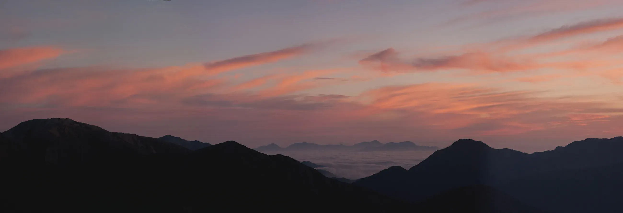
Dawn panorama, red clouds above the ridges and a sea of clouds
At dawn, from Momisawadake (樅沢岳), 2,755 m, the clouds turn red above the ridges and the sea of clouds.

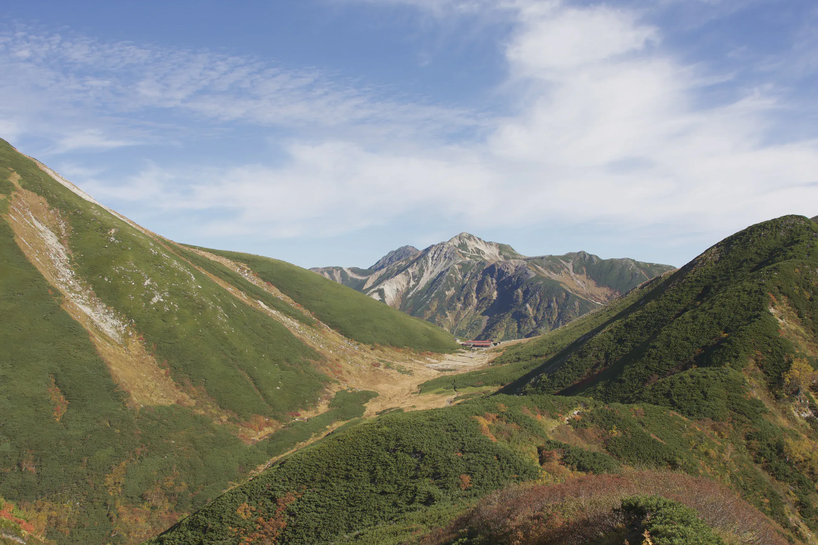
Green V-shaped valley opening onto a rocky peak
The green valley opens onto a rocky peak, between Sugoroku-Goya and Yumiori-nokkoshi, at about 2,610 m.

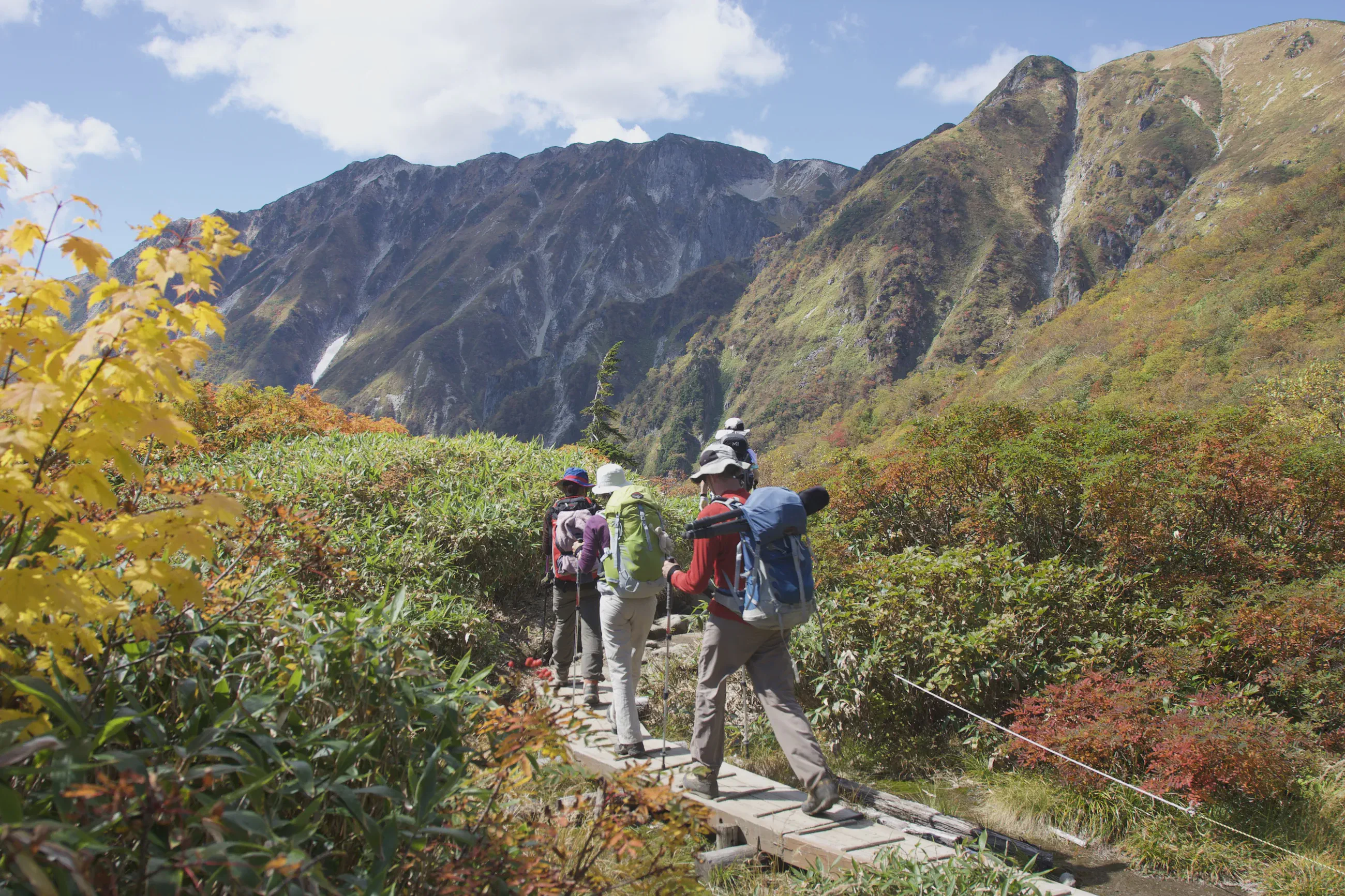
Hikers seen from behind on a boardwalk between autumn foliage
Seen from behind, hikers on the Kagami-daira boardwalk, between yellow and red foliage, at about 2,290 m.

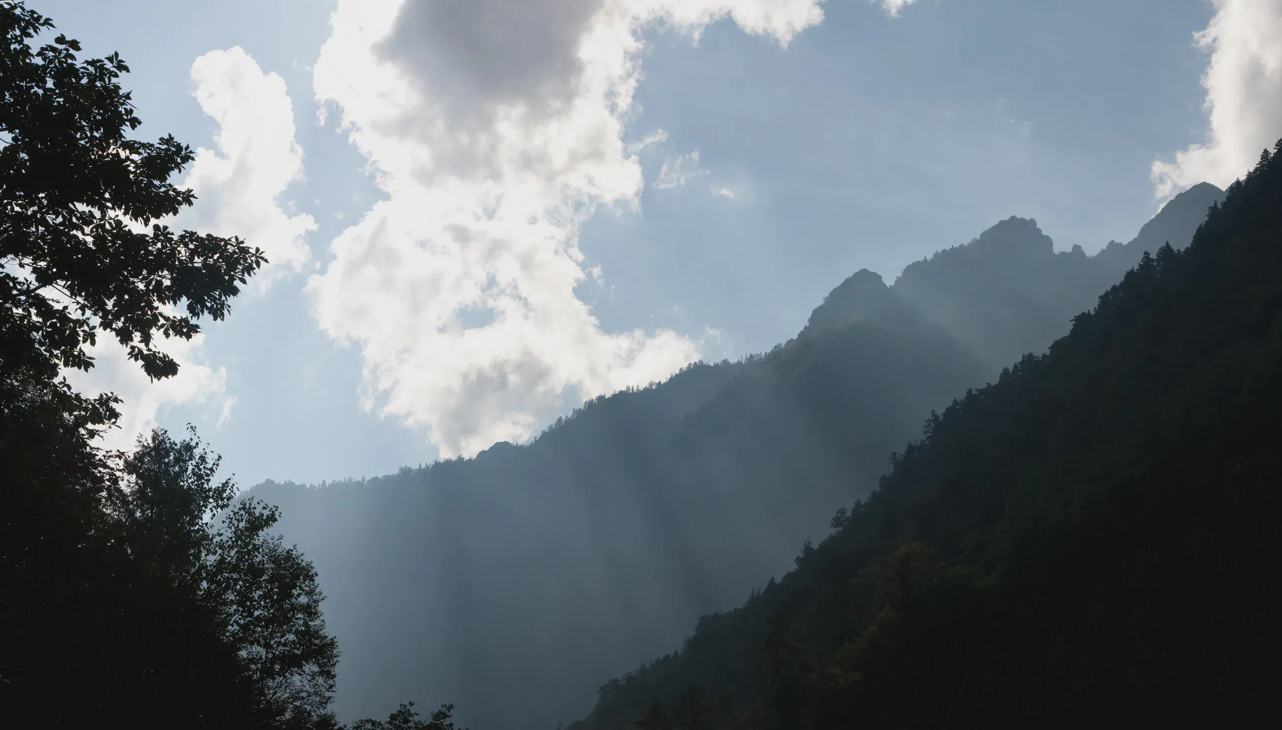
Sunbeams in the wooded valley below the ridges
On the descent toward Shin-Hotaka, at about 1,320 m, sunbeams cross the wooded valley.